InGARSS 2020 Online Tutorials

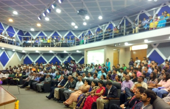
This year 2020, in collaboration with Prof. B S Daya Sagar, from the Indian Statistical Institute in Bangalore, we collaborate with the organizing committee of the InGAGSS 2020 IEEE International India Geoscience and Remote Sensing Symposium 2020 as tutorials chairs. During the last months, we have received several tutorial proposals and we have also invited colleagues to contribute.

Despite these tutorials had to be physical, due to the COVID-19 pandemics, they will be finally held online. We are happy to announce the final list of tutorials, that will be held on December 1st, 2020, from 9:30 to 17:00 IST:

  1. SAR Polarimetry by Prof. Yoshio Yamaguchi from the Faculty of Engineering, Niigata University (Japan) and Prof. Carlos López-Martínez from the Universitat Politècnica de Catalunya-BarcelonaTech (Spain).
  2. Random Forest Classification for Operational Land Cover Classification Using Multi-sensor Remote Sensing Data: Guidelines on Best Practice by Dr. Amir Behnamian and Dr. Sarah Banks from Environment and Climate Change Canada (Canada) and Prof. Koreen Millard from Carleton University (Canada).
  3. Machine Learning in Remote Sensing by Dr. Ronny Hänsch from the German Aerospace Center (Germany)
  4. Reflectometry Using GNSS and Other Signals of Opportunity: A New Paradigm for Earth Observation by Prof. Adriano Camps from the Universitat Politècnica de Catalunya-BarcelonaTech (Spain).
  5. Natural Disasters and Hazards Monitoring Using Earth Observation Data by Dr. Ramona Pelich and Dr. Marco Chini from the Luxembourg Institute of Science and Technology, (Luxembourg), Prof. Wataru Takeuchi from the University of Tokyo (Japan), Dr. Young-Joo Kwak from the National Institute for Land and Infrastructure Management, Ministry of Land, Infrastructure, Transport and Tourism (Japan) and Dr. Vitaliy Yurchenko from iGeo AS, (Norway).
  6. High Performance Computing for Hyperspectral RS Information Extraction by Prof. Antonio Plaza from the University of Extremadura (Spain).

If you are interested to attend, you must register at the official conference website.

Copernicus MOOC Webinar

On September 24th, 2020, in collaboration with the colleagues of the University of Luxembourg Competence Centre, we conducted the 2nd edition of Copernicus MOOC Webinar for Module 2 Accessing Copernicus data and services, with more than 250 participants.

The objective of the second module of the Copernicus MOOC is, in essence, to understand the Copernicus low level ecosystem, focusing in the following learning objectives:

  • Understand how to navigate in the Copernicus “labyrinth”;
  • Identify the various data types provided by Copernicus and how to access them;
  • Know and be able to compare the various services you may use to access and process Copernicus data.

In the ninety-minute webinar, we presented the basics of Synthetic Aperture Radar (SAR) and SAR Interferometry (InSAR), to better understand Sentinel-1 data. The presentation was followed by a one-hour Q&A session. As we saw in the first edition of the Copernicus MOOC in Spring 2020, we were impressed by the number and the quality of the questions raised by the different participants, indicating a clear interest in the use of Copernicus radar data.

Second Multi-Frequency GBSAR Test Campaing, Castell de Subirats, Spain

In June 22nd, 2020, we continued the field test of our new multi-frequency GBSAR system, developed in a joint effort of Balamis and the Remote Sensing Laboratory of the Universitat Politècnica de Catalunya, as the PhD of Adrià Amézaga under the aegis of the Industrial Doctorate Programs of the Generalitat de Catalunya and the Spanish Ministry of Science, Innovation and Universities.

This time, the system was fully operational and we tested its performances for forest monitoring at X-, C-, L-band frequencies and finally P-band. The test area is located right next to the Castell de Subirats (Subirats Castle), in the outskirts of the Barcelona city.

The video below shows the four 3-hour time-series of |S_{vv}| images at X-, C-, L- and P-band frequencies measured this day.  One can observe how signal stability increases as the frequency gets lower. This demonstrates that vegetation is transparent at lower frequencies, mainly L- and P-band, so we are observing the soil and the rocky structures under the vegetation.

IEEE-GRSS Distinguished Lecturer

From July 1st, 2020, and for a period of two years, I have been appointed as Distinguished Lecturer of the IEEE-GRSS Geoscience and Remote Sensing Society.

The Distinguished Lecturer Program is a service of the GRSS and its members to
support the chapter activities. The goal is to provide chapters with access to with
leading professionals in geoscience and remote sensing and discuss novel topics in
current research. This is an opportunity for the GRSS membership to hear interesting
talks about work being done in in geoscience and remote sensing.

In particular, I will take car of the following topics:

  • Basics of SAR Polarimetry,
  • SAR Polarimetry: Theory and Applications,
  • SAR, SAR Polarimetry & Multitemporal #SAR Statistical Description

➲ More information

Coastline Detection Based on Sentinel-1 Time-Series for Ship and Flood Monitoring Applications

R. Pelich, M. Chini, R. Hostache, P. Matgen and C. López-Martínez, “Coastline Detection Based on Sentinel-1 Time Series for Ship- and Flood-Monitoring Applications,” in IEEE Geoscience and Remote Sensing Letters, Early Access, 2020

➲ Full paper

Summary

This letter addresses the use of the Sentinel-1 time series with the aim of proposing an automatic and unsupervised coastline detection method that averages the dynamical variations of coastal areas over a limited period of time, e.g., one year. First, we propose applying a temporal averaging filter that allows the temporal variations in coastal areas, e.g., due to tides or vegetation, to be encapsulated, and, at the same time, the speckle to be reduced, without decreasing the spatial resolution of the synthetic aperture radar (SAR) time series. Then, based on the distinctive backscattering values of the sea and land pixels, we will employ an iterative hierarchical tiling method in order to accurately characterize the two classes using bimodal distribution. The distribution is then segmented by a thresholding and region-growing procedure to separate the sea and land classes. A large-scale quantitative comparison between the SAR-derived and open street map (OSM) coastlines allows for a numerical evaluation of the results, i.e., an overall agreement ranging from 80% to 90%. In addition, Sentinel-2 images are used to evaluate the estimated SAR coastline qualitatively. Furthermore, the benefits of having an accurate SAR coastline are shown in the case of two well-known Earth observation-monitoring applications, ship detection, and floodwater mapping.